Filter by Mission Category:
ACCLIP
Present
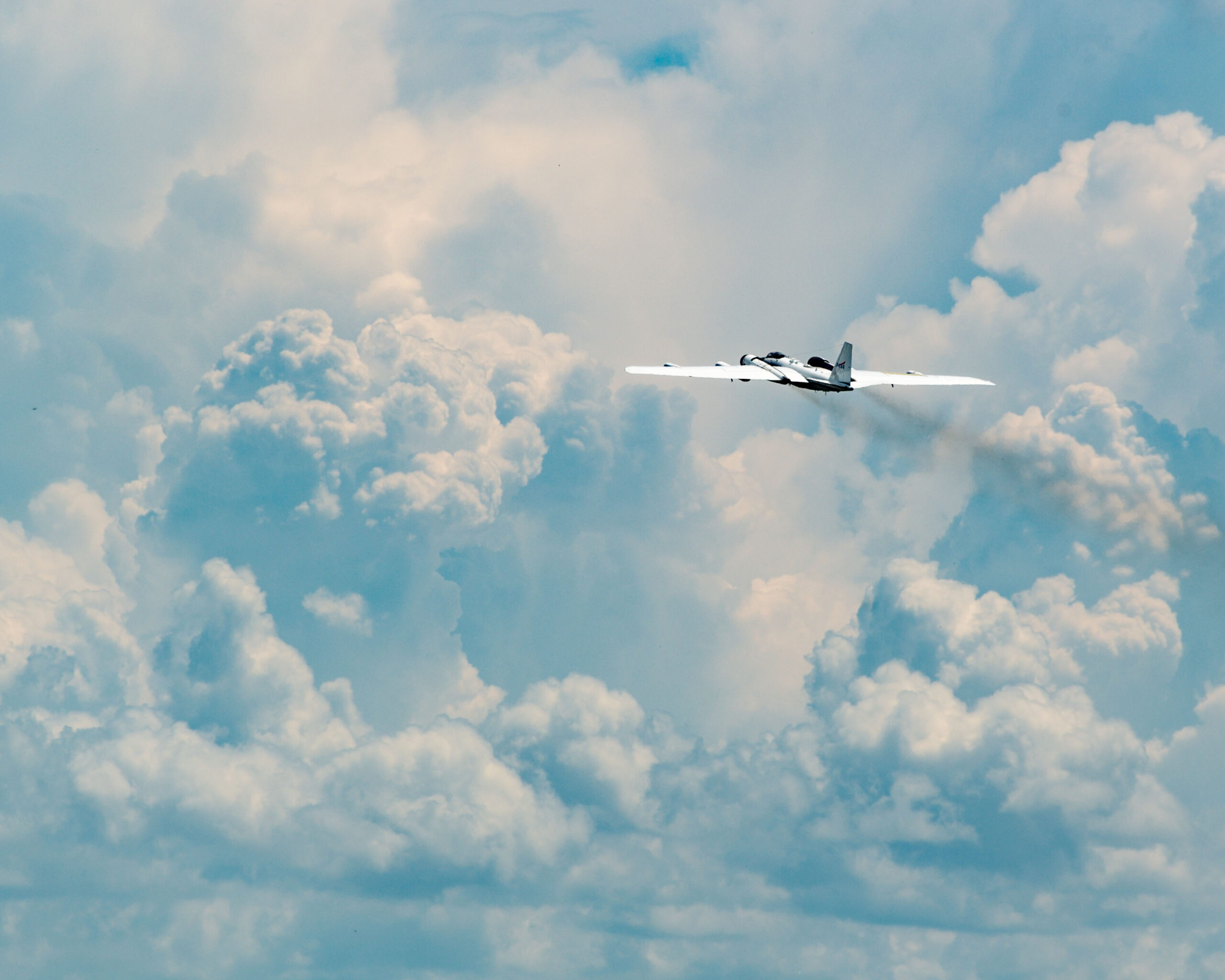
The Asian Summer Monsoon Chemical & CLimate Impact Project (ACCLIP) is a 2-month campaign planned for summer 2022 in the Republic of Korea. It is jointly funded by NASA and NCAR. NASA Langley’s LARGE and DLH teams support this study to characterize the impact of the Asian Summer Monsoon (ASM) on the Upper Troposphere-Lower Stratosphere.
+ Learn More
ACT-America
Present
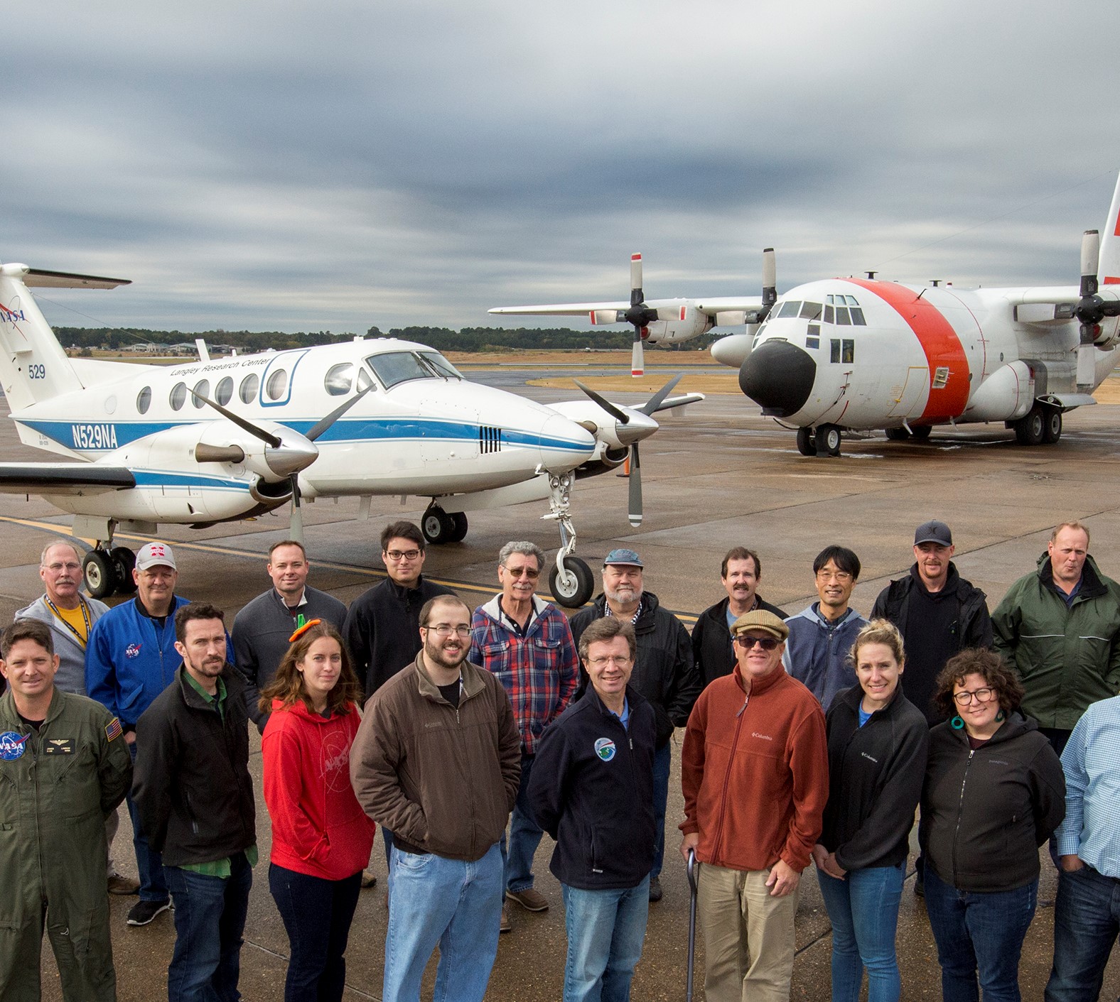
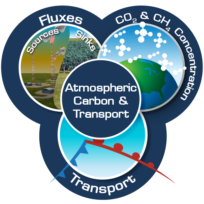
ACT-America, or Atmospheric Carbon and Transport – America, will conduct five airborne campaigns across three regions in the eastern United States to study the transport and fluxes of atmospheric carbon dioxide and methane. + Learn More
ACT-America, or Atmospheric Carbon and Transport – America, will conduct five airborne campaigns across three regions in the eastern United States to study the transport and fluxes of atmospheric carbon dioxide and methane. + Learn More
 ACT-America, or Atmospheric Carbon and Transport – America, will conduct five airborne campaigns across three regions in the eastern United States to study the transport and fluxes of atmospheric carbon dioxide and methane.
ACTIVATE
Present
NASA’s Aerosol Cloud meTeorology Interactions oVer the western ATlantic Experiment (ACTIVATE) project is a five-year project (January 2019 – December 2023) that will provide important globally-relevant data about changes in marine boundary layer cloud systems, atmospheric aerosols, and multiple feedbacks that warm or cool the climate.
+ Learn More
ARCSIX
Present
The overarching goal of ARCSIX is to quantify the contributions of surface properties, clouds, aerosol particles, and precipitation to the Arctic summer surface radiation budget and sea ice melt during the early melt season (May through mid-July).
+ Learn More
The overarching goal of ARCSIX is to quantify the contributions of surface properties, clouds, aerosol particles, and precipitation to the Arctic summer surface radiation budget and sea ice melt during the early melt season (May through mid-July).
+ Learn More
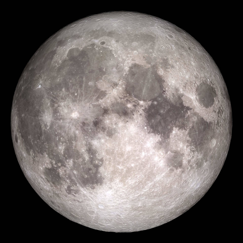
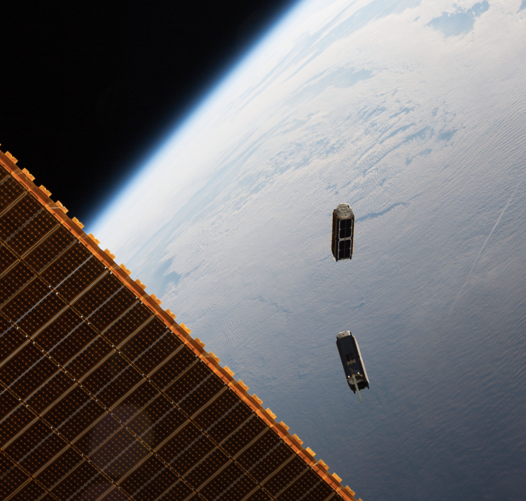
Arcstone
Present
 One of the most challenging tasks in remote sensing from space is achieving required instrument calibration accuracy on-orbit. The Moon is considered to be an excellent exoatmospheric calibration source. Arcstone is a mission concept that provides a solution to this challenge. + Learn More
One of the most challenging tasks in remote sensing from space is achieving required instrument calibration accuracy on-orbit. The Moon is considered to be an excellent exoatmospheric calibration source. Arcstone is a mission concept that provides a solution to this challenge. + Learn More
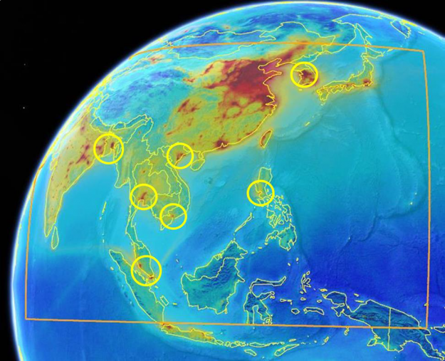
ASIA-AQ
Present
The ASIA-AQ mission is an international cooperative field study designed to address local air quality challenges. Specifically, ASIA-AQ will contribute to improving the integration of satellite observations with existing air quality ground monitoring and modeling efforts across Asia. + Learn More
The ASIA-AQ mission is an international cooperative field study designed to address local air quality challenges. Specifically, ASIA-AQ will contribute to improving the integration of satellite observations with existing air quality ground monitoring and modeling efforts across Asia. + Learn More
AWP
BATAL
Present
The Balloon measurement campaigns of the Asian Tropopause Aerosol Layer (BATAL) is a series of field missions to study the transport of pollution in the Upper Troposphere and Lower during the Summer Asian Monsoon.
+ Learn More
The Balloon measurement campaigns of the Asian Tropopause Aerosol Layer (BATAL) is a series of field missions to study the transport of pollution in the Upper Troposphere and Lower during the Summer Asian Monsoon.
+ Learn More
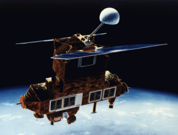
CALIPSO
Present
CALIPSO (Cloud-Aerosol Lidar and Infrared Pathfinder Satellite Observations) uses an innovative lidar and imaging system. It allows us to see natural and human-produced aerosols and thin clouds that are invisible to radar, and sometimes even to the human eye. + Learn More
CALIPSO (Cloud-Aerosol Lidar and Infrared Pathfinder Satellite Observations) uses an innovative lidar and imaging system. It allows us to see natural and human-produced aerosols and thin clouds that are invisible to radar, and sometimes even to the human eye. + Learn More
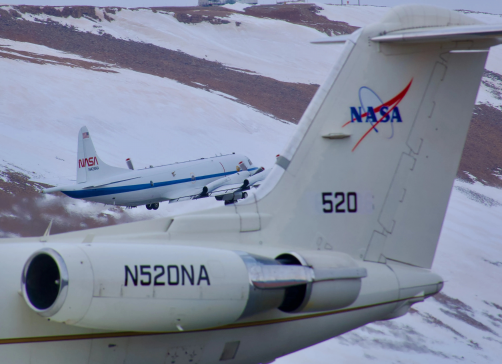
CAMP2EX
Past
NASA CAMP2Ex (The Cloud, Aerosol and Monsoon Processes Philippines Experiment) is a multi-platform international mission studying aerosol-cloud-radiation interactions associated with the Southwest Monsoon. NASA Langley supported the CAMP2EX mission in 2019 by participating in extensive flight planning activities and helping to guide the P-3B aircraft to areas of study interest.
+ Learn More
CAPABLE
CERES
Present
The Clouds and the Earth’s Radiant Energy System (CERES) project provides satellite-based observations of ERB and clouds. It uses measurements from CERES instruments flying on several satellites along with data from many other instruments to produce a comprehensive set of ERB data products for climate, weather and applied science research.
+ Learn More
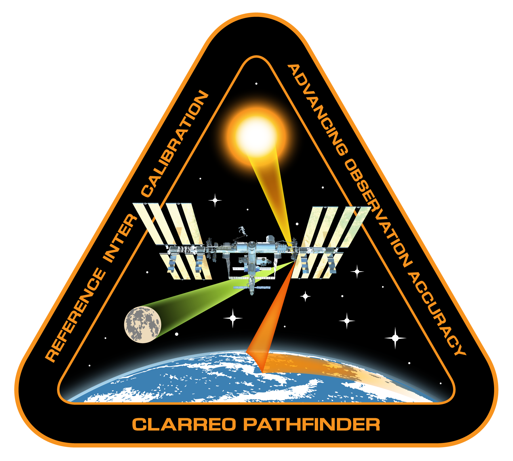
CLARREO Pathfinder
Present
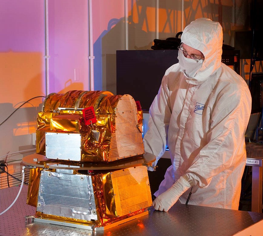
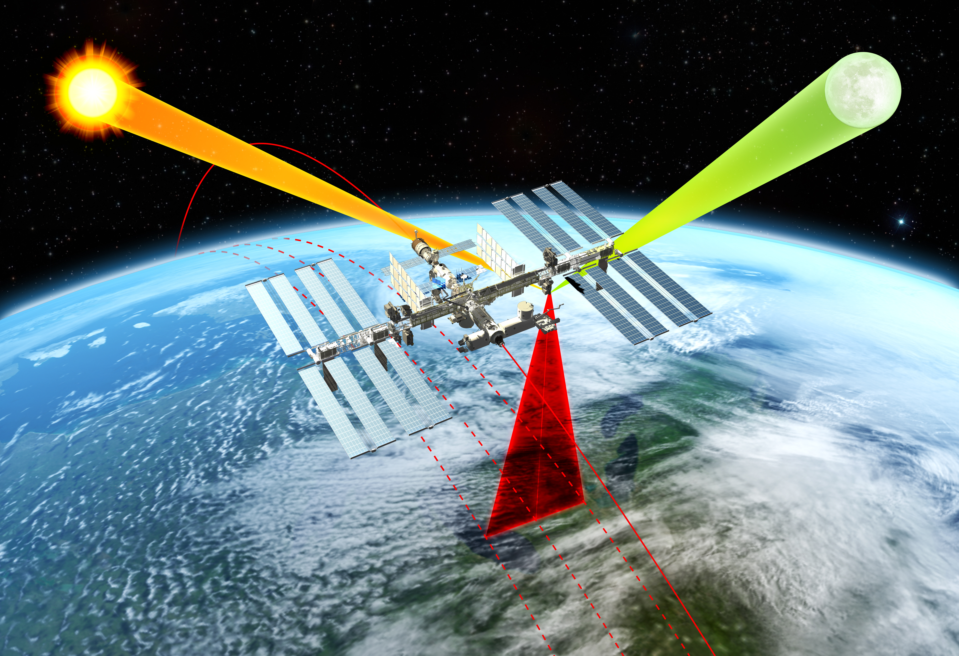
CLARREO Pathfinder’s data will help us better understand Earth’s changing system. CLARREO Pathfinder data will do this by taking highly accurate measurements of sunlight reflected by Earth and the Moon. + Learn More
CLARREO Pathfinder’s data will help us better understand Earth’s changing system. CLARREO Pathfinder data will do this by taking highly accurate measurements of sunlight reflected by Earth and the Moon. + Learn More
 CLARREO Pathfinder’s data will help us better understand Earth’s changing system. CLARREO Pathfinder data will do this by taking highly accurate measurements of sunlight reflected by Earth and the Moon.
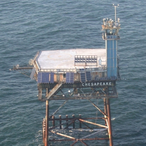
COVE

CPEX-AW
Past
CPEX-AW contributed to the cal/val of the ADM-AEOLUS satellite and studied the dynamics between the Saharan Air Layer, easterly waves and jets, and the deep convection in the ITCZ. CPEX-AW employed the most comprehensive suite of remote sensors including several of LaRCs airborne science instruments including HALO, DAWN and Dropsondes. + Learn More
CPEX-AW contributed to the cal/val of the ADM-AEOLUS satellite and studied the dynamics between the Saharan Air Layer, easterly waves and jets, and the deep convection in the ITCZ. CPEX-AW employed the most comprehensive suite of remote sensors including several of LaRCs airborne science instruments including HALO, DAWN and Dropsondes. + Learn More
CPEX-CV
Future
The Weather and Atmospheric Dynamics Program will execute an airborne field campaign on the NASA DC-8 based out of Cabo Verde during September 2022.
+ Learn More
The Weather and Atmospheric Dynamics Program will execute an airborne field campaign on the NASA DC-8 based out of Cabo Verde during September 2022.
+ Learn More
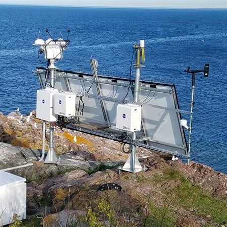
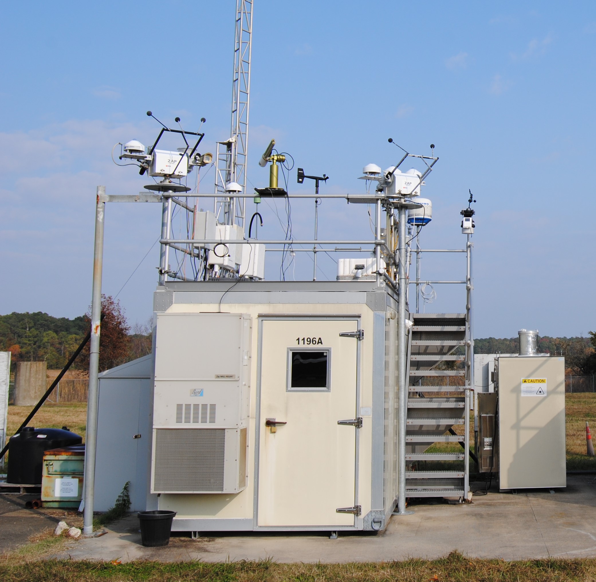
CRAVE
Present
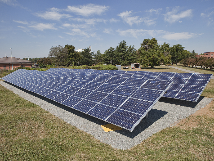
The CERES Radiation and Validation Experiment (CRAVE) provides continuous world-class surface radiation measurements and validation of CERES and other satellite products. CRAVE consists of three sites (2 active and 1 legacy). + Learn More
The CERES Radiation and Validation Experiment (CRAVE) provides continuous world-class surface radiation measurements and validation of CERES and other satellite products. CRAVE consists of three sites (2 active and 1 legacy). + Learn More
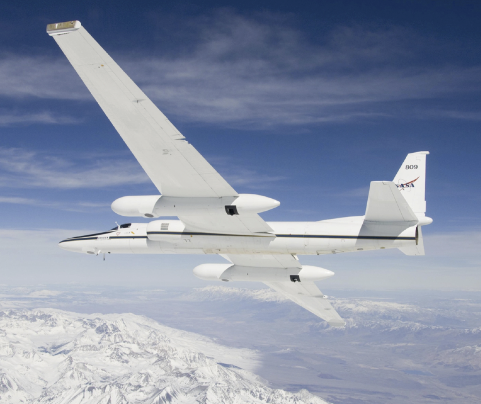
DCOTSS
Present
Using online collaboration tools in preparation for the Dynamics and Chemistry of the Summer Stratosphere (DCOTSS) Earth Venture field campaign, NASA Langley contributed to a simulated flight planning exercise conducted in July 2019.
+ Learn More
Using online collaboration tools in preparation for the Dynamics and Chemistry of the Summer Stratosphere (DCOTSS) Earth Venture field campaign, NASA Langley contributed to a simulated flight planning exercise conducted in July 2019.
+ Learn More
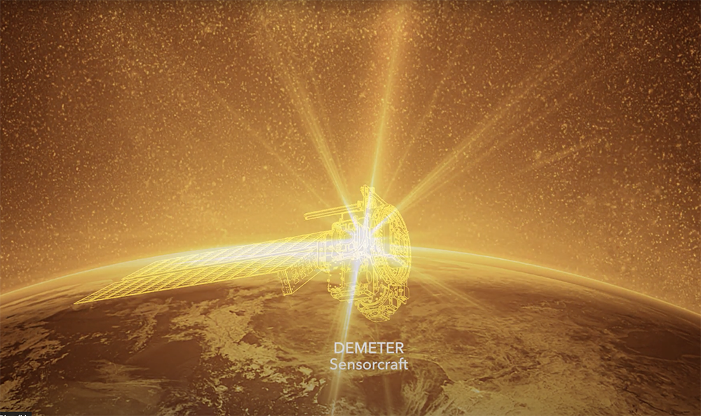
DEMETER
Future
DEMETER is an ESTO-funded next-generation radiometric sensor that will not only dramatically reduce the size and weight of satellites sent to monitor ERB, but also greatly increase the utility of these instruments for meeting the evolving needs of the climate-modeling community.
+ Learn More
DEMETER is an ESTO-funded next-generation radiometric sensor that will not only dramatically reduce the size and weight of satellites sent to monitor ERB, but also greatly increase the utility of these instruments for meeting the evolving needs of the climate-modeling community.
 DEMETER is an ESTO-funded next-generation radiometric sensor that will not only dramatically reduce the size and weight of satellites sent to monitor ERB, but also greatly increase the utility of these instruments for meeting the evolving needs of the climate-modeling community.
+ Learn More
 DEVELOP, part of NASA’s Applied Sciences Program, addresses environmental and public policy issues through interdisciplinary research projects that apply the lens of NASA Earth observations to community concerns around the globe.
DISCOVER-AQ
Past
DISCOVER-AQ was a four-year campaign to improve the use of satellites to monitor air quality for public health and environmental benefit.
+ Learn More
DISCOVER-AQ was a four-year campaign to improve the use of satellites to monitor air quality for public health and environmental benefit.
+ Learn More
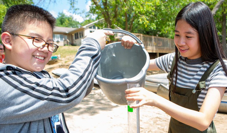
Elementary GLOBE
Current
 Elementary GLOBE’s modules introduce students in grades K-4 to the various aspects of Earth system science. Using a storybook approach, the modules utilize a science-based, fictional narrative to engage students in the scientific method. The modules also challenge them to extend their lessons into the natural world through observation and measurement of their surrounding environment.
+ Learn More
+ Learn More
ERBS
ESCAPE
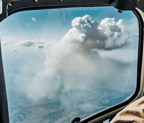
FIREX-AQ
Present
 Fire Influence on Regional to Global Environments and Air Quality (FIREX-AQ), a joint venture between NOAA and NASA, is a comprehensive wildfire smoke investigation and the latest in a long history of collaborative research between the two federal science agencies. + Learn More

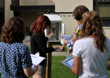
GLOBE Clouds/S’COOL
Present
The CERES S’COOL project has joined forces with the GLOBE Program creating a larger community of cloud observers across 120+ countries. GLOBE Clouds provides tips on making observations of clouds and educational resources on the importance of clouds as powerful agents of global change.
+ Learn More
+ Learn More
GLOBE at Langley
Present
NASA’s Langley has been a GLOBE Partner since 2003 providing support to educators implementing GLOBE and providing scientific research support for various atmospheric science protocols. GLOBE is a worldwide hands-on, science and education program that promotes collaboration among students, teachers, the citizen science community, and scientists.
+ Learn More
+ Learn More
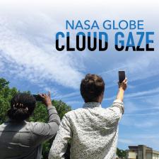
GLOBE Observer
Current
GLOBE Observer is an international network of citizen scientists and scientists working together to learn more about our shared environment and changing climate. To participate, just download the GLOBE Observer app and submit regular observations.
+ Get the App
+ Get the App
GOES Severe Storm Analysis
HALO
HSRL-2
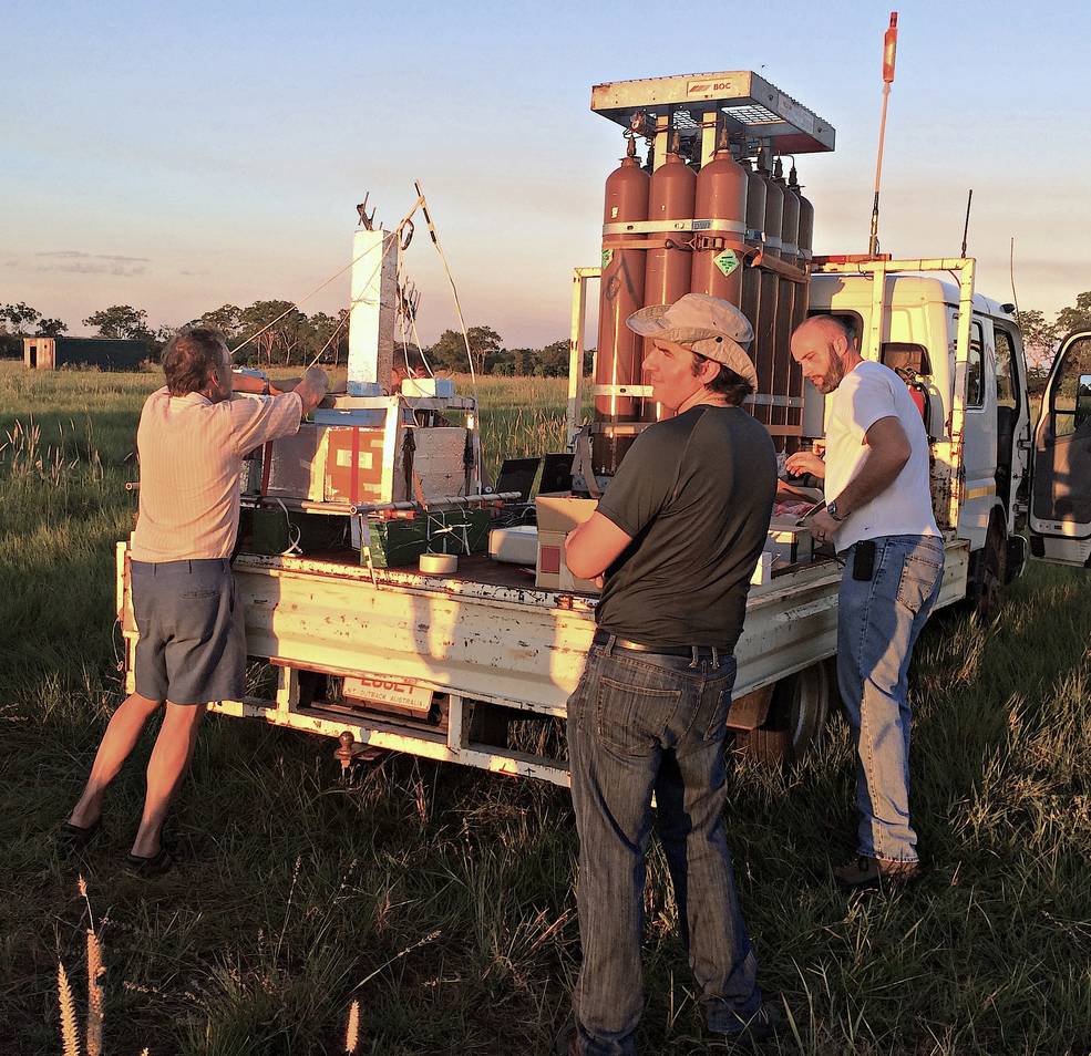
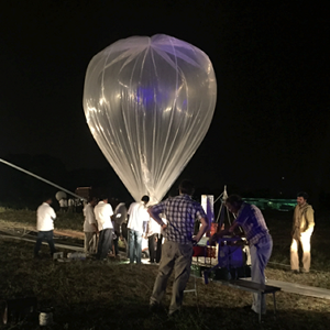
KLASH
Past
 In February of 2014 a team of scientists from NASA’s Langley Research Center and the University of Wyoming mounted a rapid balloon deployment to make in situ measurements in this volcanic plume in order to assess its radiative and climate impacts and provide validation measurements for the CALIPSO space-borne lidar mission.
+ Learn More
+ Learn More
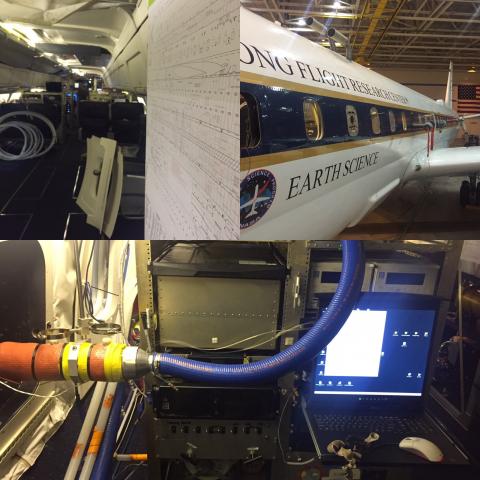
KORUS-AQ
Past
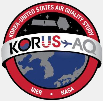 In 2016 KORUS-AQ offered the opportunity to further advance NASA goals and those of its international partners related to air quality through a targeted field study focused on the South Korean peninsula and surrounding waters.
+ Learn More
In 2016 KORUS-AQ offered the opportunity to further advance NASA goals and those of its international partners related to air quality through a targeted field study focused on the South Korean peninsula and surrounding waters.+ Learn More
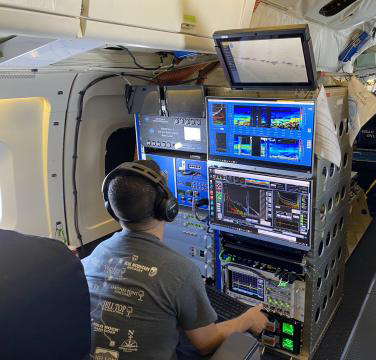
LARGE
LEARN
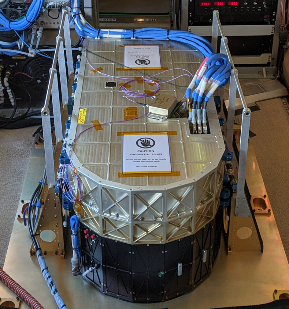
The Lidar Group
Present
 The Lidar Applications Group is based out of the Science Directorate at NASA’s Langley Research Center. The research campaigns and experiments performed in the Lidar group use Lidar technology on various aircraft to learn more about our atmosphere, what’s in it, and how it’s changing. + Learn More
The Lidar Applications Group is based out of the Science Directorate at NASA’s Langley Research Center. The research campaigns and experiments performed in the Lidar group use Lidar technology on various aircraft to learn more about our atmosphere, what’s in it, and how it’s changing. + Learn More
LISTOS
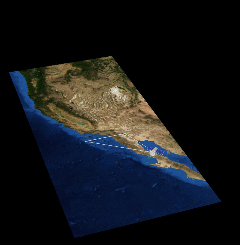
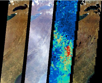
LITE
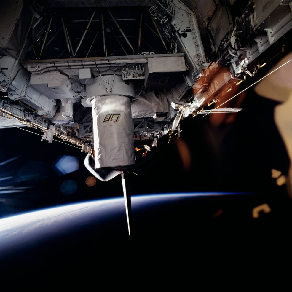
Past
 LITE was a three-wavelength backscatter lidar developed by NASA Langley Research Center to fly on the Space Shuttle to support advancement of knowledge of Earth as a system to meet the chanllenges of environmental changes, and to improve life on our planet. + Learn More
MAIA
MISR
Current
 As part of NASA’s Earth Observing System (EOS), data from multi-angle imagery of the satellite-borne Multi-angle Imaging SpectroRadiometer (MISR) instrument is transmitted from the Terra spacecraft to the ground. MISR data is handled at the ASDC at NASA Langley and MISR data products are available online.
+ Learn More
As part of NASA’s Earth Observing System (EOS), data from multi-angle imagery of the satellite-borne Multi-angle Imaging SpectroRadiometer (MISR) instrument is transmitted from the Terra spacecraft to the ground. MISR data is handled at the ASDC at NASA Langley and MISR data products are available online. + Learn More
MOOSE
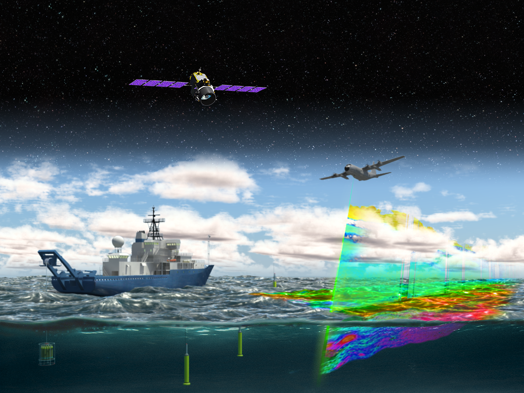
NAAMES
Past
 The North Atlantic Aerosols and Marine Ecosystems Study (NAAMES) is a five year investigation to resolve key processes controlling ocean system function, their influences on atmospheric aerosols and clouds and their implications for climate.
+ Learn More
The North Atlantic Aerosols and Marine Ecosystems Study (NAAMES) is a five year investigation to resolve key processes controlling ocean system function, their influences on atmospheric aerosols and clouds and their implications for climate.+ Learn More
My NASA Data
Current
 My NASA Data (MND) is one of the few NASA Earth Science educator resources providing grade 3-12 teachers access to NASA mission data through unique tools that help students learn about Earth system science. My NASA Data features phenomena and related resources from each of the spheres in the Earth system.
+ Learn More
+ Learn More
OWLETS 1 & 2
Past
The Ozone Water–Land Environmental Transition Study (OWLETS), conducted during the summers months of 2017 and 2018, utilized enhanced observational strategies in order to obtain a better understanding of chemical forecasts and pollution transport over the lower and upper Chesapeake Bay watershed.
+ Learn More
POWER
RaD-X
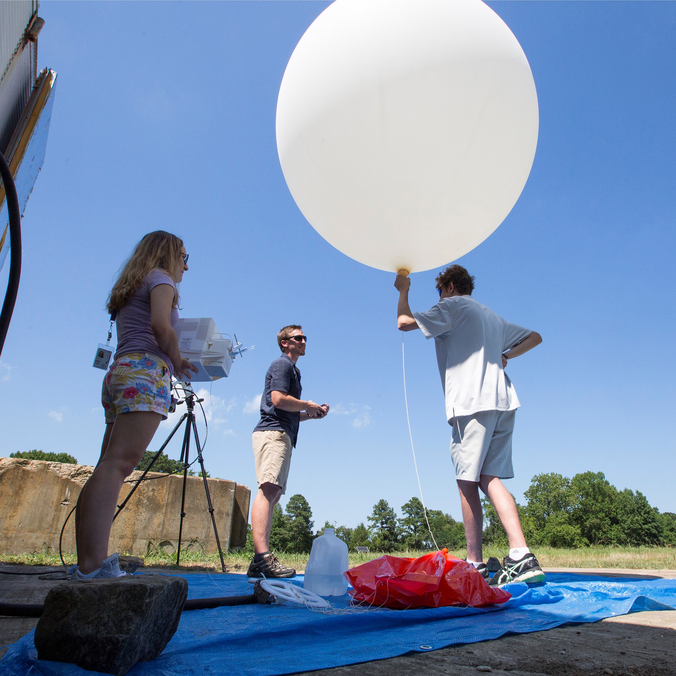
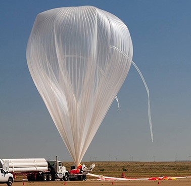
Past
The NASA Radiation Dosimetry Experiment (RaD-X) high-altitude balloon mission was successfully launched from Fort Sumner, New Mexico on 25 September, 2015. Over 20 hours of science data were obtained from four dosimeters at altitudes above 20 km. It provided first-time indications of how cosmic rays deposit energy at the top of atmosphere.
+ Learn More
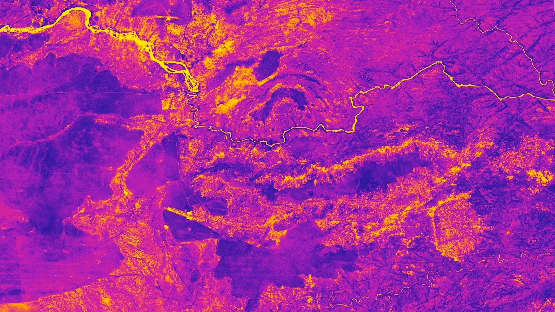
 SABER produced the first comprehensive global measurements of this the upper atmosphere.
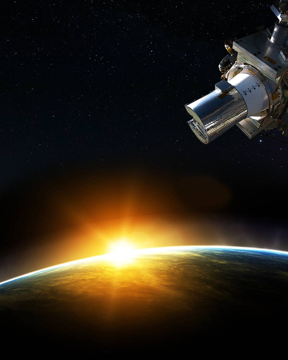
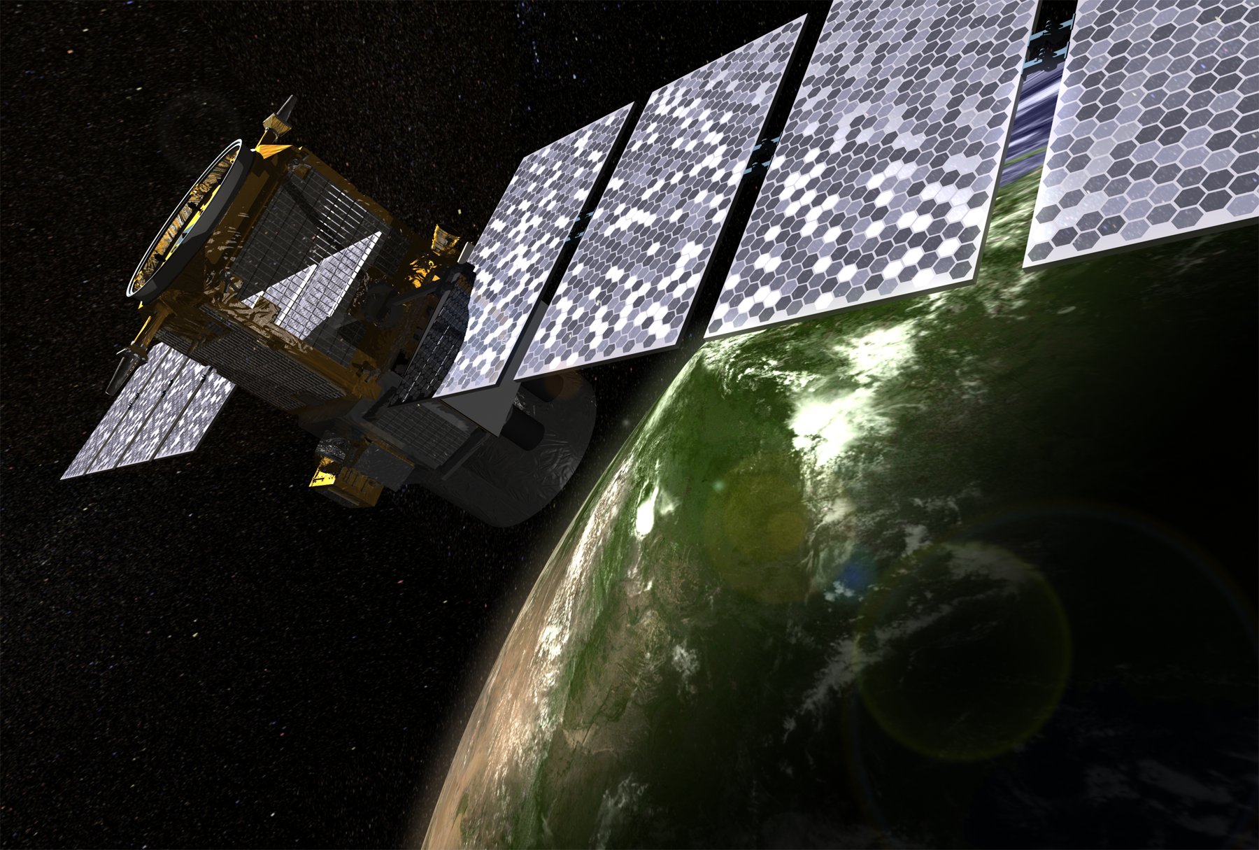
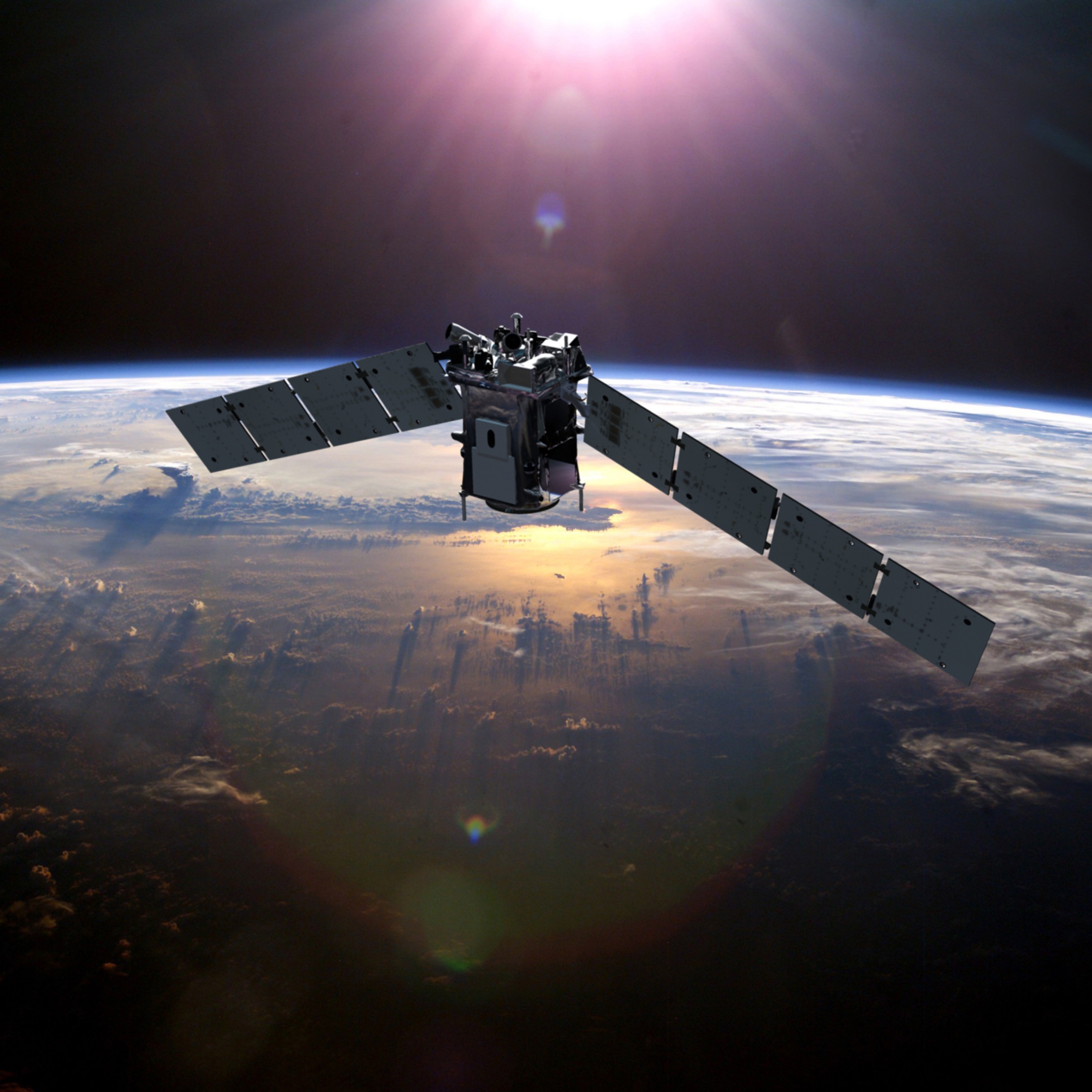
SAGE III on ISS
Present
SAGE III on the International Space Station (ISS) is a third-generation solar and lunar occultation instrument that studies ozone, aerosols, and other gases in the Earth’s stratosphere. + Learn More
SAGE III on the International Space Station (ISS) is a third-generation solar and lunar occultation instrument that studies ozone, aerosols, and other gases in the Earth’s stratosphere. + Learn More
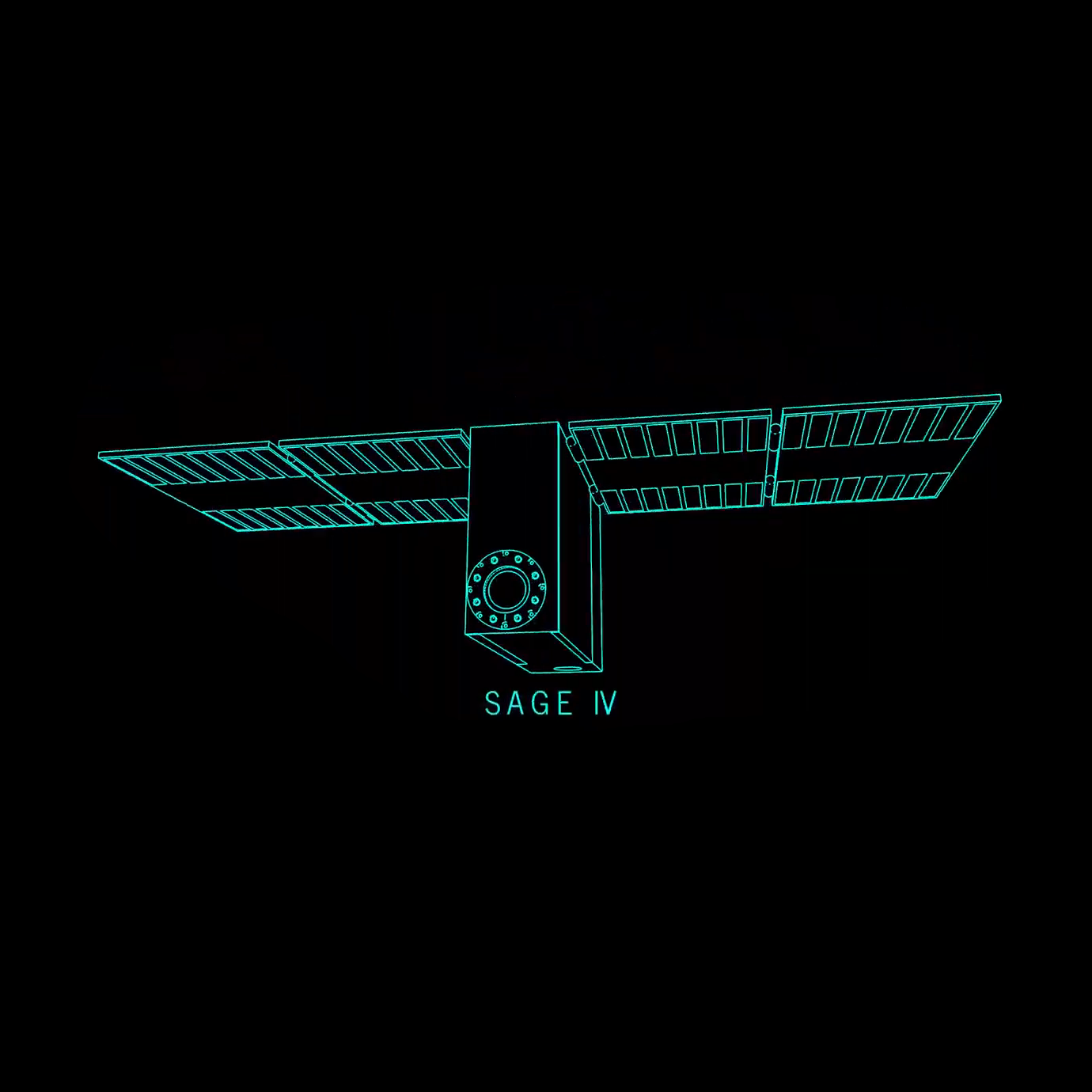
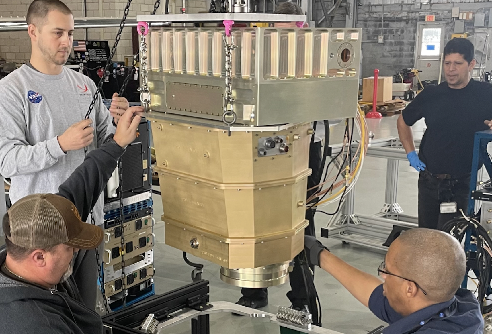
SAGE IV Pathfinder
Future
NASA’s SAGE IV Pathfinder is ‘science in a shoebox,’ which enables a sustainable way to monitor the health of Earth’s ozone layer at roughly 1/10 the cost and size of previous SAGE instruments. + Learn More
NASA’s SAGE IV Pathfinder is ‘science in a shoebox,’ which enables a sustainable way to monitor the health of Earth’s ozone layer at roughly 1/10 the cost and size of previous SAGE instruments. + Learn More
SaSa
Current
 The Student Airborne Science Activation (SaSa) program selects highly motivated early-career undergraduates at eligible universities to participate in an 8-week summer research experience. The full-time, paid internship includes a competitive stipend, housing, and travel, for each of its 25 participants.
+ Learn More
+ Learn More
SPIN
Current
NASA Langley Research Center’s Small Payload Innovation Network is a network of innovators, architects, scientists, and engineers poised to accelerate Langley small projects and innovation. + Learn More
NASA Langley Research Center’s Small Payload Innovation Network is a network of innovators, architects, scientists, and engineers poised to accelerate Langley small projects and innovation. + Learn More
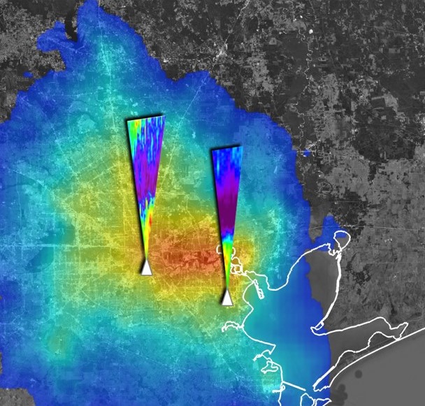
STAQS
Present
The Synergistic TEMPO Air Quality Science (STAQS) mission seeks to integrate TEMPO satellite observations with traditional air quality monitoring to improve understanding of air quality science and increase societal benefit. STAQS will be conducted in summer 2023. + Learn More
The Synergistic TEMPO Air Quality Science (STAQS) mission seeks to integrate TEMPO satellite observations with traditional air quality monitoring to improve understanding of air quality science and increase societal benefit. STAQS will be conducted in summer 2023. + Learn More
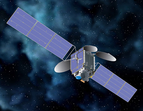
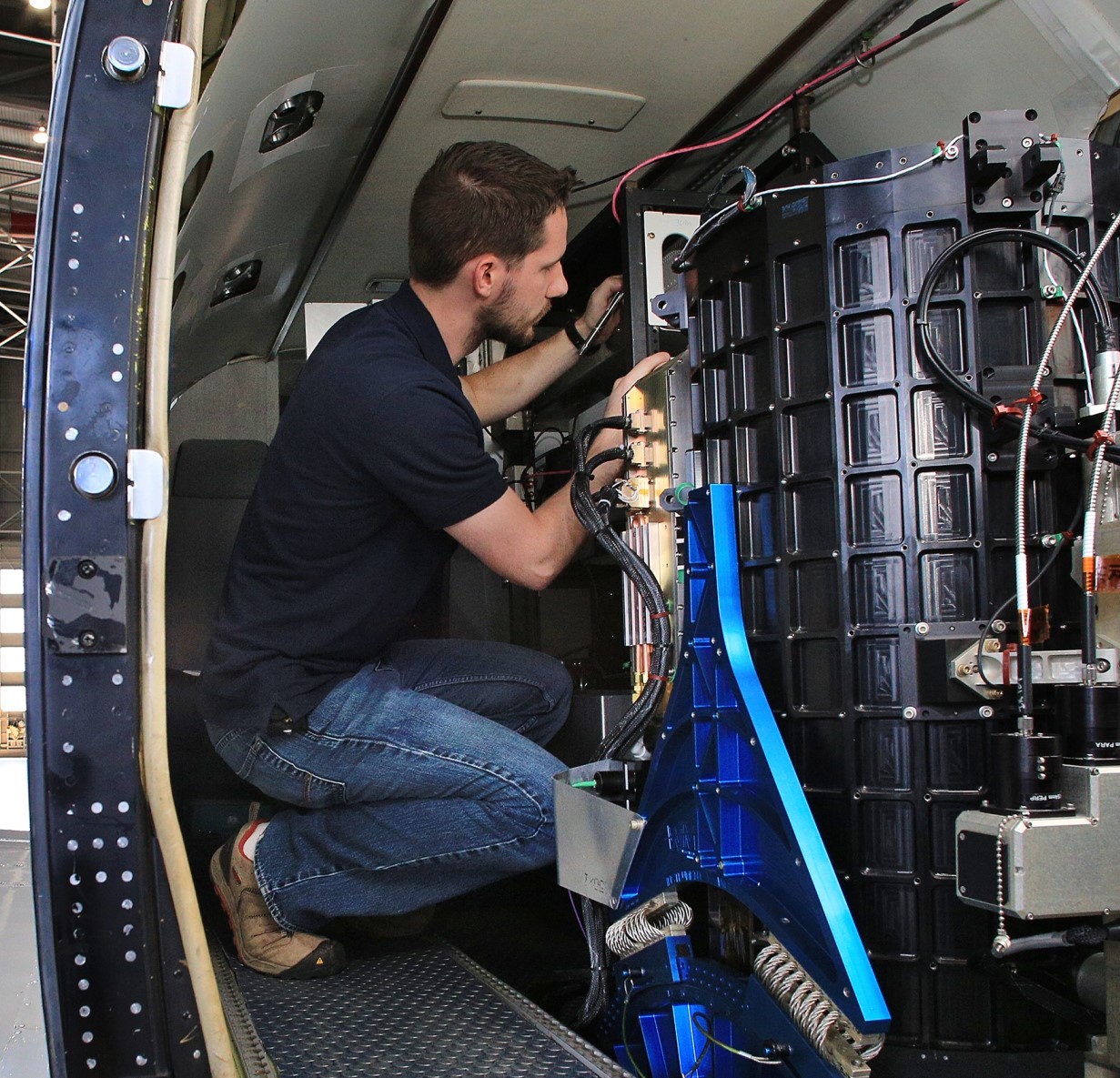
TEMPO
Present
The TEMPO instrument is a UV-visible spectrometer, and will be the first ever space-based instrument to monitor air pollutants hourly across the North American continent during daytime.
+ Learn More
The TEMPO instrument is a UV-visible spectrometer, and will be the first ever space-based instrument to monitor air pollutants hourly across the North American continent during daytime.
+ Learn More
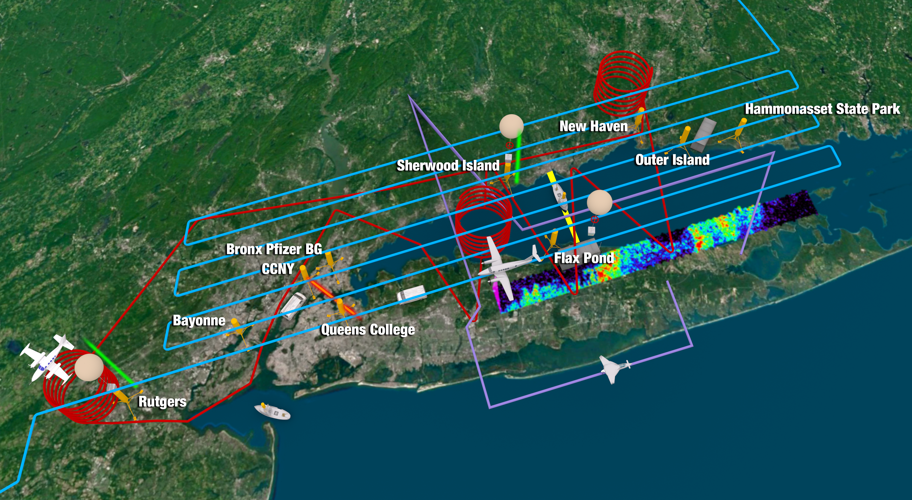
TRACER-AQ
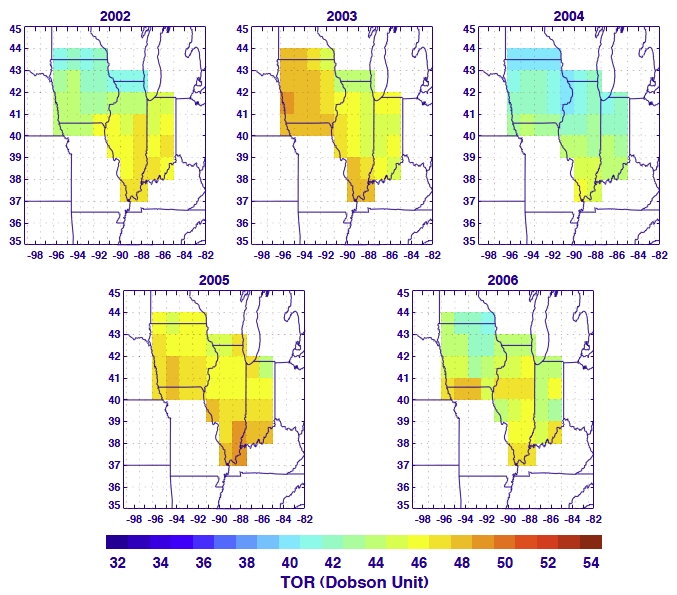
Tropospheric Ozone Residual (TOR)
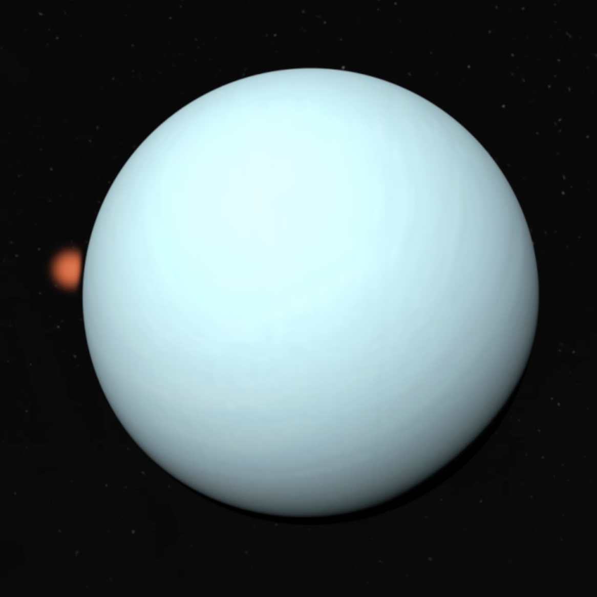
Uranus Stellar Occultation Campaign